the maxville
heritage collection
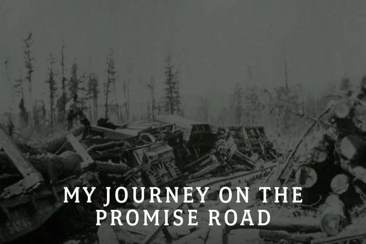
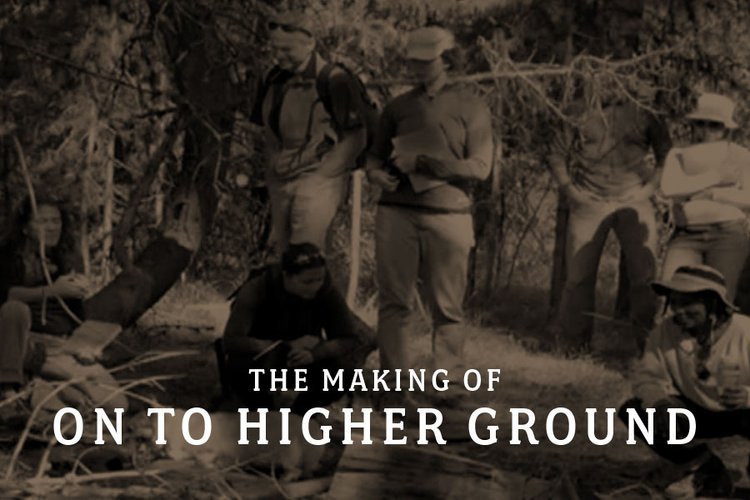
Our video, audio, and oral history collection serves to preserve and interpret the rich history of the multicultural railroad logging community of Maxville, Oregon for future generations.
Video Collection
Media
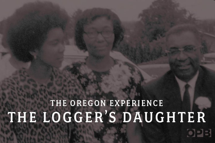
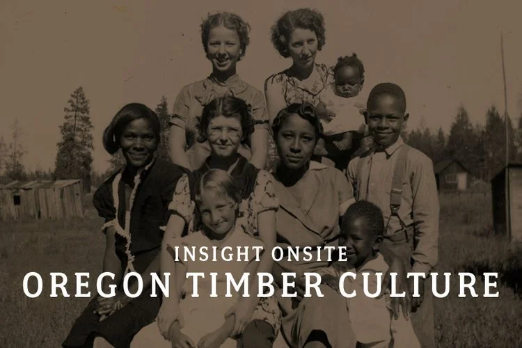
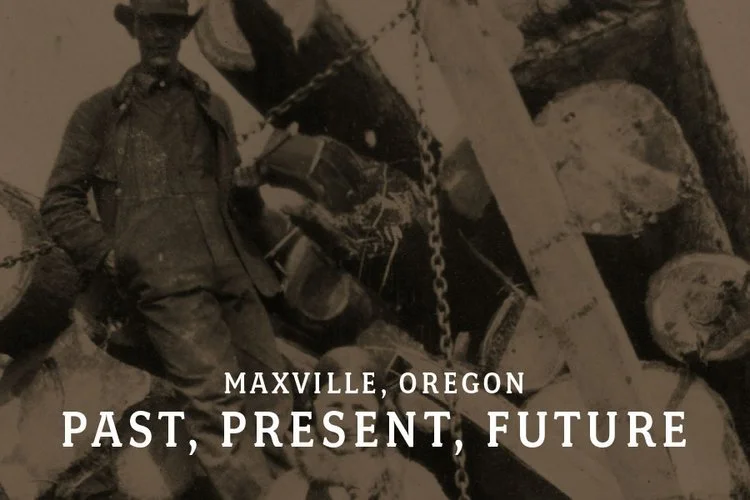

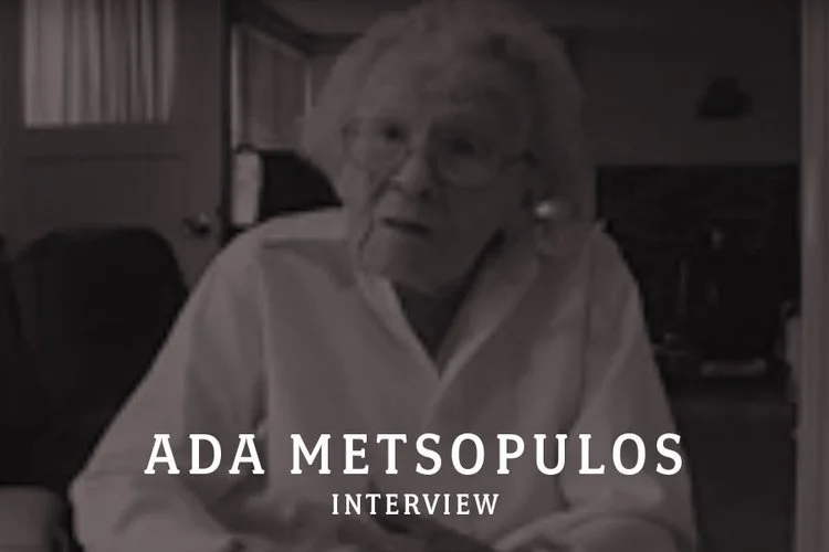

Oral History Collection
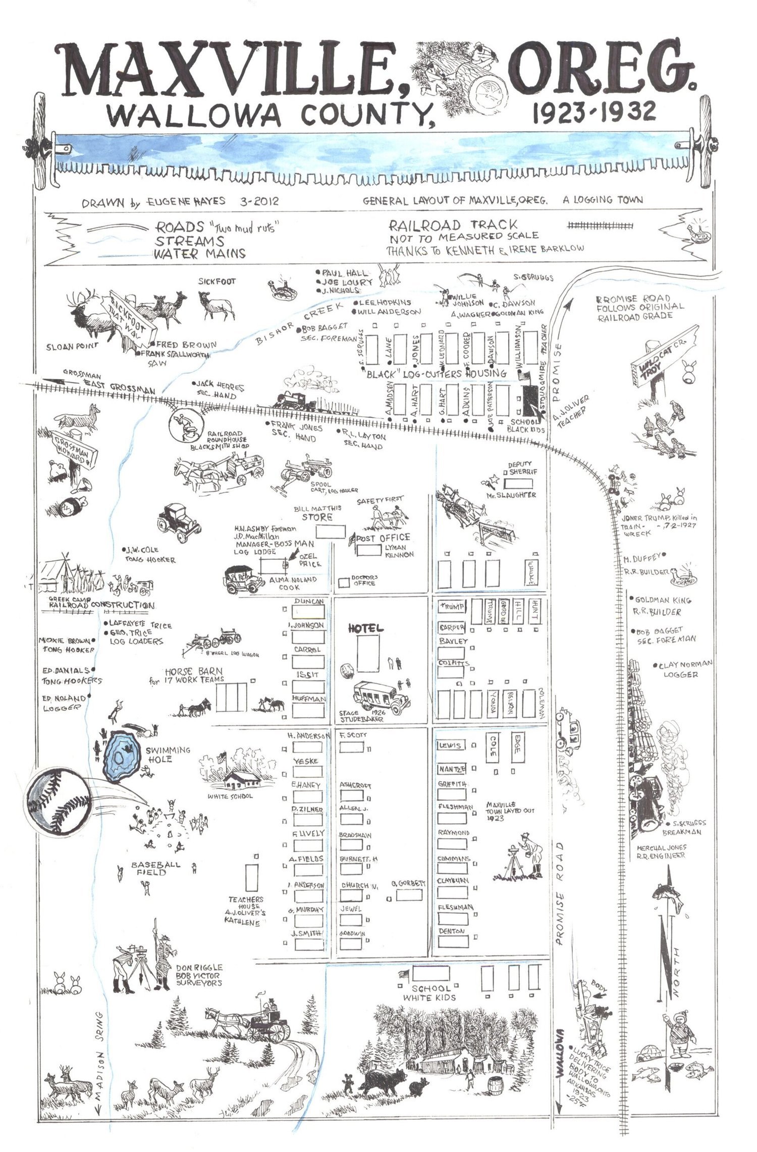
Maxville Townsite Map
A map of Maxville created from the memories of firsthand accounts and illustrated by notable Wallowa County artist Eugene Hayes.
We thank Irene Barklow for her permission to illustrate her original map.